
GPS Technology Trends to Watch in 2023 — An Attorney’s Guide from a GPS Expert Witness
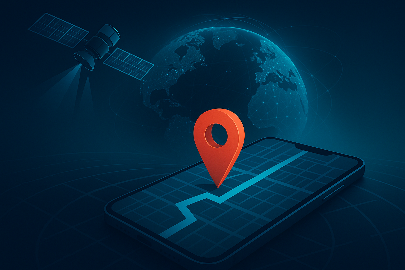
Location evidence can place a device near a scene, reconstruct movements, or test an alibi. Courts expect clear methodology, reproducibility, and quantified error. As GPS/GIS technology evolves, the gap between what a map appears to show and what the data actually support can widen.
Need a quick consult? Discuss your case with a GPS expert witness
Trend 1: Multi-constellation, multi-frequency GNSS becomes common
Modern devices increasingly use multiple satellite constellations (GPS, GLONASS, Galileo, BeiDou) and multiple frequencies (e.g., L1/L5).
Litigation impact:
- GPS accuracy claims vary by device, firmware, antenna quality, sky view, and sampling interval.
- Ask for raw logs when possible (e.g., NMEA) and document how fixes were filtered or smoothed.
- Require the PGS expert witness to quantify horizontal/vertical error and confidence intervals for each exhibit.
Useful references:
- Official GPS performance and GPS accuracy overview (U.S. government): GPS.gov → Accuracy.
- GPS system performance dashboard: GPS.gov → Performance.
Trend 2: “GPS” on phones ≠ pure GPS
Smartphones fuse GNSS with Wi-Fi positioning, cell-tower trilateration, barometer, and inertial sensors. “Location Services” is a blend.
Litigation impact:
- Distinguish GNSS-only fixes from fused estimates.
- Establish whether power-saving modes or app settings throttled sampling.
- Confirm device-time sync and any post-processing performed by apps or cloud services.
Useful references:
- Android raw GNSS measurements & logging (GNSSLogger): developer.android.com → Raw GNSS.
- Apple Core Location accuracy controls: developer.apple.com → CLLocationAccuracy.
Trend 3: Indoor/proximity tech enters the chat (Wi-Fi RTT, BLE beacons, UWB)
Indoor positioning and short-range radios can place a device inside structures where GNSS fails.
Litigation impact:
- Treat these as different evidence classes with different error profiles.
- Demand documentation of access-point maps, beacon layouts, calibration procedures, and clock sources.
- For demonstratives, label the technology used for each point so a jury doesn’t treat an indoor estimate like a satellite fix.
Useful reference:
- Wi-Fi Round-Trip-Time (RTT) ranging: developer.android.com → Wi-Fi RTT.
Trend 4: GIS workflows must be reproducible end-to-end
With QGIS/ArcGIS, it’s easy to produce polished maps that overstate certainty.
Litigation impact:
- Chain of custody should include raw files (e.g., NMEA/GPX/KML/CSV), projections used, and all transformations.
- Keep a step-by-step processing log and versioned project files.
- Use consistent symbology that encodes uncertainty (confidence rings, not just pins).
Useful references:
- QGIS on coordinate reference systems (CRS) and projections: QGIS docs → CRS intro and Working with projections.
- ArcGIS Pro on choosing/handling coordinate systems: ArcGIS Pro docs → Coordinate systems and Specify a coordinate system.
Trend 5: Telematics and IoT broaden discovery
Vehicles, wearables, delivery scanners, and fleet trackers generate location trails independent of phones.
Litigation impact:
- Subpoena strategy should cover GPS data discovery requests, OEM portals, third-party telematics vendors, retention windows, and export formats.
- Cross-correlate sources (vehicle + phone + camera) to validate timelines and surface inconsistencies.
Trend 6: Spoofing and jamming risk is real
Civilian GNSS signals are vulnerable. Urban canyons and interference can degrade fixes; spoofing can mislead receivers.
Litigation impact:
- Your GPS expert witness should test for telltales: abrupt jumps, impossible velocities, constellation anomalies, and mismatches with auxiliary sensors.
- Present limits clearly to avoid overstating precision.
Useful references:
- CISA guidance on GPS interference and reporting: CISA Insights → GPS Interference (PDF).
- DHS technical guidance on improving GPS equipment resilience: CISA/DHS technical note (PDF).
Trend 7: Geofencing and reverse-location queries draw scrutiny
Law enforcement use of geofence and reverse-search techniques is evolving and contested.
Litigation impact:
- Expect arguments over particularity, overbreadth, and minimization.
- Trace the lifecycle of the data (collection → filtering → de-identification/re-identification) and preserve intermediate datasets for review.
- Ask whether location history was opt-in, device-wide, or app-specific, and how consent settings affected availability.
Trend 8: Privacy law and platform policies shift access
State privacy laws and platform policy changes affect what exists, how long it’s retained, and who can access it.
Litigation impact:
- Align discovery with actual retention windows (consumer vs. enterprise accounts can differ).
- Be precise in requests: identify providers, date ranges, device IDs, and export formats to avoid lossy “screenshots” of data.
Trend 9: Better basemaps, imagery, and 3D visualization for exhibits
Higher-resolution aerials and 3D city models improve storytelling but can imply false precision if misused.
Litigation impact:
- Lock the map’s projection and datum; annotate scale and north arrow.
- Use time-appropriate imagery; don’t show a building that didn’t exist on the date in question.
- Provide jurors with scale references and error buffers on every path or point.
Practical checklist for counsel
Early case assessment
- Identify all potential location sources (phone, vehicle, wearables, enterprise apps).
- Estimate likely accuracy ranges and whether indoor/outdoor context matters.
Discovery requests
- Request raw logs (NMEA/GPX/KML/CSV), not just screenshots. See the NMEA 0183 overview for what typical sentences contain: NMEA 0183 (NMEA).
- Ask for metadata: sampling rates, firmware/app versions, clock source, and any cloud post-processing.
- Seek vendor export manuals where relevant (vehicle telematics, fleet systems).
- In certain cases, software source code review may be needed.
GPS Expert workup
- Demand a reproducible GIS project file with documented coordinate reference systems and transformations (see QGIS/ArcGIS references above).
- Require quantified uncertainty and sensitivity analysis (how results change with different filters).
- Have the GPS expert witness explain device behaviors (power saving, airplane mode, sensor fusion) in plain language.
Direct exam
- Establish methodology first: acquisition → validation → analysis → visualization.
- Walk through one exemplar point from raw log to final map to show reproducibility.
- Use error bands and timelines rather than a single “dot on a map.”
Cross-exam
- Probe device/app defaults, sampling gaps, and whether fused estimates were labeled as such.
- Ask about alternate explanations (multipath, interference, spoofing) and whether they were tested.
- Challenge any unlogged transformations or undocumented smoothing/cleaning.
Frequently asked questions (short answers you can reuse)
How accurate is phone “GPS”?
It depends on environment, the device, antennas, and whether the point is GNSS-only or a fused estimate. Treat indoor and outdoor points differently and quantify error. See GPS.gov → Accuracy.
What’s the best format to request?
Raw logs (NMEA/GPX/KML/CSV) plus any vendor-specific binaries, with exact time zones and coordinate reference systems.
Can GPS data be faked?
Yes. Spoofing, jamming, or bad sensor fusion can mislead. Look for anomalies and cross-validate with independent sources. See CISA GPS Interference (PDF).
How should we present maps to a jury?
Use conservative symbology (confidence rings), clear timelines, and captions that state the data source and uncertainty. See QGIS CRS intro.
A GPS expert witness can help expand this list and give direct feedback on your case, and they can advise on how to challenge GPS evidence in court.
Need a GPS expert witness?
Sidespin Group provides GPS and GIS expert witness services for litigation support. Get in touch to discuss your case and hire a GPS expert witness for trial.
Written by
Related Insights
Discuss your Case
- info@sidespingroup.com
- (800) 510-6844
- Monday – Friday
- 8am – 6pm PT
- 11am – 9pm ET
Lead Expert
